
Transforming Hydrographic Mapping with UAV Bathymetry
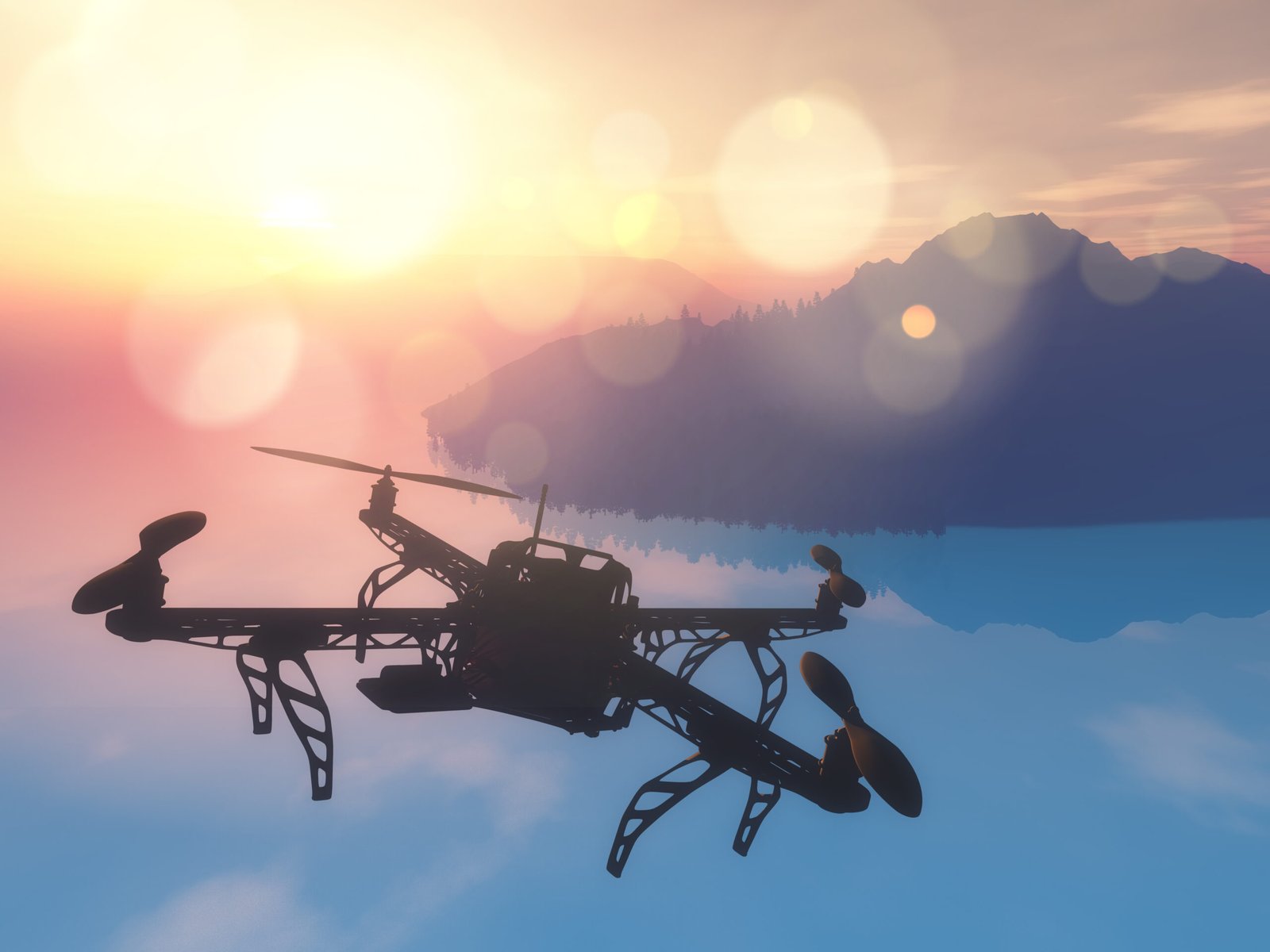
JBUAS showcases the growing impact of UAV bathymetry and SPH systems across multiple industries. Drone-based bathymetric technology enables precise underwater terrain mapping in shallow and hazardous environments. These smart survey methods improve operational safety, reduce manual effort, and support industries such as dredging, environmental monitoring, mining, and coastal infrastructure development.
Know more https://businesstheworld.com/i....ndustries-benefiting
Curtir


Comentario
Compartilhar